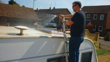
[tl:gallery size=470×363]Caravaners are perhaps a little more protected than other holidaymakers from the vagaries of the weather, but it’s still nice to know whether the site you’re heading for is basking in sunshine or three feet underwater.
If you’d rather not trust a weather forecast for such information though, how about seeing a live satellite view of conditions at your favourite pitch, all from the comfort of your home computer?
All you need is Google Earth version 5.2 — a free download for PCs and Macs. The satellite imagery of Earth it provides isn’t live (for obvious reasons), but the weather data is and it’s based on meteorological radar data that’s updated every 15 minutes.
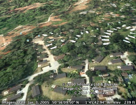
So, open the app, look up any address in the UK or parts of Europe, and not only can you zoom out to see the current cloud cover, but also the prevailing weather as animations on the map, whether its rain, wind or something more extreme. It’s tipping it down in the New Forest at the time of writing, for example…
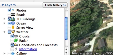
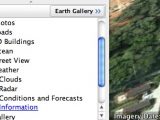
Once you’ve downloaded and installed Google Earth, look in the bottom left of the application window for ‘Layers’. You’ll see a long list of options here, and all you need to do is expand the Weather section and click to tick the “Clouds” and “Conditions and forecasts” options. Turning on the Radar layer is also a good way to see which areas of Europe are covered by the live weather data — no radar, no data.
[tl:gallery size=470×229]
All that remains is to look up an address and watch the map zoom to the appropriate place, although you may subsequently need to zoom in a bit further to see what’s happening under the clouds.